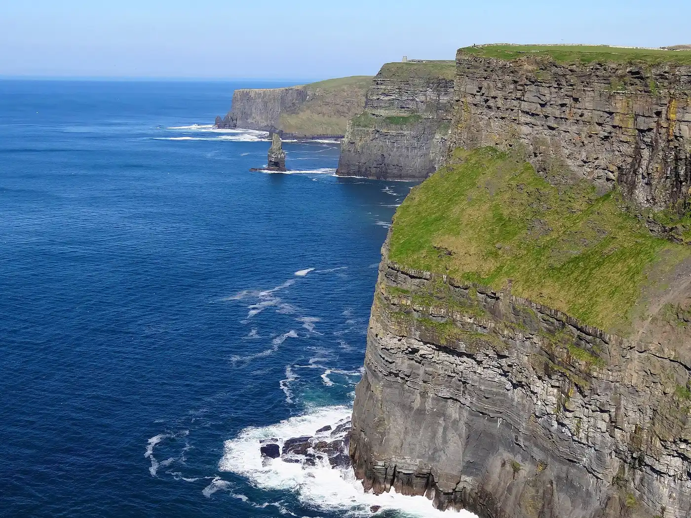
County Clare
Known as The Banner County. Nobody has settled it. One account has a banner captured from the enemy at Ramillies in 1706 by the Clare Dragoons of the Irish Brigade; another has the banners carried for Daniel O'Connell when he won the Clare election of 1828 and forced Catholic Emancipation. Both are good stories and neither is proven. The origin is not settled.
Tap a name for its full page — story, homeland map and neighbours.
- Drumcliffe · round tower · incomplete · 11 m
- Inis Cathaigh · holy well
- Inish Cealtra · round tower · incomplete · 22.3 m
- Inneenboy cross · high cross
- Killinaboy · round tower · incomplete · 3.5 m
- Mollaneen · round tower · incomplete · 15 m
- Poulnabrone dolmen · dolmen
- Scattery Island · round tower · complete to cornice · 26 m
- Temple Cronan · holy well
- 13 castles · Ballinalacken Castle, Ballycar Castle, Ballyhannon Castle, Ballymarkahan Castle, Bunratty Castle and more
Every pin is placed by its documented coordinates. All the monuments of Ireland →
What is the Irish name for County Clare?
An Clár. Clare is one of the 6 counties of Munster (Cúige Mumhan).
Who ruled County Clare in the Middle Ages?
Around 1014 it was held by Thomond (O'Brien); by 1450, Thomond (O'Brien). The full era-by-era chronology is on this page.
What surnames come from County Clare?
Names historically associated with Clare include Ahern, Carty, Clancy, Colgan, Considine, Cooney, Creagh, Cusack, among others.
- 1911 Census — Clare ↗
- 1901 Census — Clare ↗
- Griffith's Valuation — search Clare ↗
- Down Survey maps — Clare ↗
- Schools' Folklore Collection — Clare ↗
- Placenames of Clare (Logainm) ↗
- Landed Estates — Clare ↗
Free, from the holding institutions. How to begin: the six-step guide → · Spotted an error on this page? Suggest a correction.