County Louth
Known as The Wee County. Because it is the smallest of the thirty-two, at 826 square kilometres. Carlow is next and is seventy square kilometres bigger.
Tap a name for its full page — story, homeland map and neighbours.
- Dromiskin · round tower · incomplete · 15.25 m
- Faughart · round tower · incomplete · 0.05 m
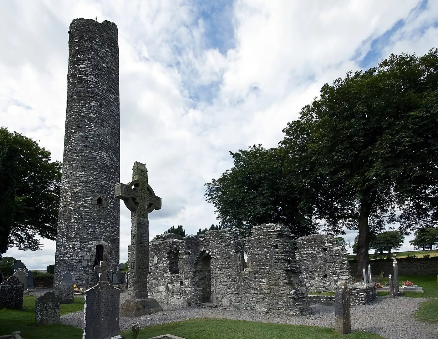
- Monasterboice · high cross
- Monasterboice · round tower · incomplete · 28 m
- Muiredach's High Cross · high cross
- Proleek Dolmen · dolmen
- Townleyhall passage grave · tomb
- 9 castles · Ardee Castle, Athclare Castle, Barmeath Castle, Castle Roche, Darver Castle and more
Every pin is placed by its documented coordinates. All the monuments of Ireland →
What is the Irish name for County Louth?
Lú. Louth is one of the 12 counties of Leinster (Cúige Laighean).
Who ruled County Louth in the Middle Ages?
Around 1014 it was held by Airgíalla (Oriel); by 1450, The English Pale. The full era-by-era chronology is on this page.
What surnames come from County Louth?
Names historically associated with Louth include Callan, Carroll, Fleming, Halpin, O'Hare, Plunkett, Rice, Taaffe, among others.
- 1911 Census — Louth ↗
- 1901 Census — Louth ↗
- Griffith's Valuation — search Louth ↗
- Down Survey maps — Louth ↗
- Schools' Folklore Collection — Louth ↗
- Placenames of Louth (Logainm) ↗
Free, from the holding institutions. How to begin: the six-step guide → · Spotted an error on this page? Suggest a correction.