Contaetha na hÉireann

The 32 counties of Ireland

Ireland has 32 counties: 26 in the Republic of Ireland and 6 in Northern Ireland, grouped into four provinces. They were laid down by English administrations between the 1200s and 1600s over a much older map of kingdoms and lordships — which is why so many county borders make no sense of the country underneath them, and why people still say what county they are from long after the counties stopped governing much of anything.

The counties by the numbers
Carlow Cavan Cork Donegal Dublin Clare Galway Kerry Kildare Kilkenny Laois Leitrim Limerick Longford Louth Mayo Meath Monaghan Offaly Roscommon Sligo Tipperary Waterford Westmeath Wexford Wicklow Antrim Armagh Down Fermanagh Londonderry Tyrone

Ulster Cúige Uladh 9

Munster Cúige Mumhan 6

Leinster Cúige Laighean 12

Connacht Cúige Chonnacht 5

All 32, with the county town and the size

The county town is where the county was administered from, which is not always its biggest place. Areas are the traditional county, not the modern council. Populations are from the 2022 census in the Republic and the 2021 census in Northern Ireland, by traditional county.

CountyIn IrishCounty townProvincekm²People
Antrim Aontroim Antrim Ulster 3,086 651,321
Armagh Ard Mhacha Armagh Ulster 1,327 194,394
Carlow Ceatharlach Carlow Leinster 897 61,931
Cavan An Cabhán Cavan Ulster 1,932 81,704
Clare An Clár Ennis Munster 3,450 127,938
Cork Corcaigh Cork Munster 7,508 584,156
Donegal Dún na nGall Lifford Ulster 4,860 167,084
Down An Dún Downpatrick Ulster 2,489 553,261
Dublin Baile Átha Cliath Dublin Leinster 922 1,458,154
Fermanagh Fear Manach Enniskillen Ulster 1,691 63,585
Galway Gaillimh Galway Connacht 6,151 276,451
Kerry Ciarraí Tralee Munster 4,807 156,458
Kildare Cill Dara Naas Leinster 1,695 246,977
Kilkenny Cill Chainnigh Kilkenny Leinster 2,073 103,685
Laois Laois Portlaoise Leinster 1,720 91,657
Leitrim Liatroim Carrick-on-Shannon Connacht 1,589 35,199
Limerick Luimneach Limerick Munster 2,756 209,536
Derry / Londonderry Doire Coleraine Ulster 2,118 252,231
Longford An Longfort Longford Leinster 1,091 46,751
Louth Lú Dundalk Leinster 826 139,100
Mayo Maigh Eo Castlebar Connacht 5,588 137,231
Meath An Mhí Navan Leinster 2,342 220,826
Monaghan Muineachán Monaghan Ulster 1,295 65,288
Offaly Uíbh Fhailí Tullamore Leinster 2,001 83,150
Roscommon Ros Comáin Roscommon Connacht 2,548 70,259
Sligo Sligeach Sligo Connacht 1,838 70,198
Tipperary Tiobraid Árann Nenagh Munster 4,305 167,895
Tyrone Tír Eoghain Omagh Ulster 3,266 188,383
Waterford Port Láirge Waterford Munster 1,858 127,363
Westmeath An Iarmhí Mullingar Leinster 1,840 95,840
Wexford Loch Garman Wexford Leinster 2,367 163,527
Wicklow Cill Mhantáin Wicklow Leinster 2,027 155,851
The biggest and the smallest

Cork is the largest county in Ireland at about 7,508 km² — larger than the six smallest counties put together. Louth is the smallest, which is where the Wee County comes from.

  1. 1. Cork 7,508 km² · Munster
  2. 2. Galway 6,151 km² · Connacht
  3. 3. Mayo 5,588 km² · Connacht
  4. 4. Donegal 4,860 km² · Ulster
  5. 5. Kerry 4,807 km² · Munster
  6. 6. Tipperary 4,305 km² · Munster
  7. 7. Clare 3,450 km² · Munster
  8. 8. Tyrone 3,266 km² · Ulster
  9. 9. Antrim 3,086 km² · Ulster
  10. 10. Limerick 2,756 km² · Munster

And the five smallest:

Which counties are in which state

Six counties make up Northern Ireland. The other 26 are in the Republic. The line does not follow the provinces: Ulster has nine counties and three of them — Cavan, Monaghan and Donegal — are in the Republic, so Ulster and Northern Ireland are not two words for the same place, however often they are used that way.

Northern Ireland — 6

Republic of Ireland — 26

Quick answers
How many counties are there in Ireland?

32 in all. 26 are in the Republic of Ireland and 6 — Antrim, Armagh, Down, Fermanagh, Londonderry and Tyrone — are in Northern Ireland. They are grouped into four provinces: Ulster with 9, Leinster with 12, Munster with 6 and Connacht with 5.

How many counties are in the Republic of Ireland?

26. The other six are in Northern Ireland. Note that Ulster, the province, has nine counties: three of them — Cavan, Monaghan and Donegal — are in the Republic, which is why "Ulster" and "Northern Ireland" are not the same thing.

What is the largest county in Ireland?

Cork, at about 7,508 km². After it come Galway (6,151 km²), Mayo (5,588 km²), Donegal (4,860 km²) and Kerry (4,807 km²).

What is the most populous county in Ireland?

Dublin, with 1,458,154 people at the 2022 census — more than a quarter of the Republic. Antrim (651,321, 2021) and Cork (584,156) are next. The least populous is Leitrim, at 35,199.

What is the smallest county in Ireland?

Louth, at about 826 km² — small enough that it is often called the Wee County. Carlow (897 km²) and Dublin (922 km²) are next.

What is a county town?

The town where a county's administration and assizes were historically seated. It is not always the biggest town: County Antrim's county town is Antrim, though Belfast is far larger, and County Londonderry's is Coleraine rather than Derry.

Are the counties still used for local government?

In the Republic most are, though some have been subdivided — Dublin into four and Tipperary formerly into two ridings. In Northern Ireland the six counties were replaced for administrative purposes in 1973 by district councils, so they survive there as traditional and cultural units rather than governing ones.

All 32 county names in Irish — what they mean and how to say them →

The thirty-two, in pictures

A place that belongs to each county — a mountain, a monastery, a castle, a causeway.
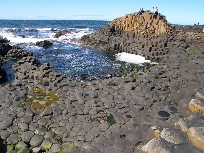
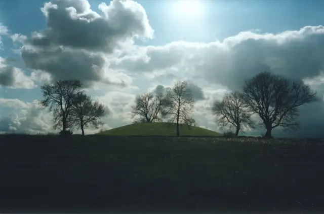
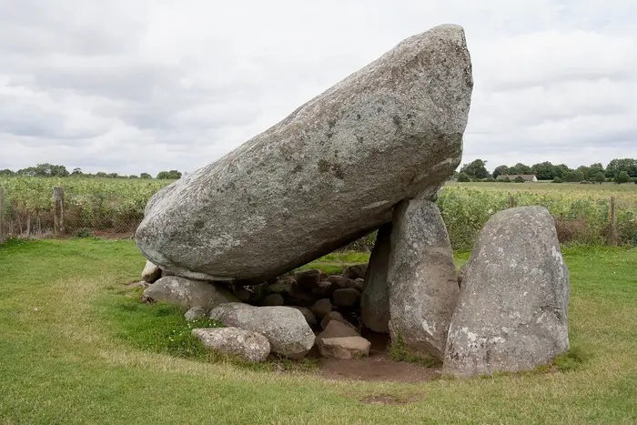
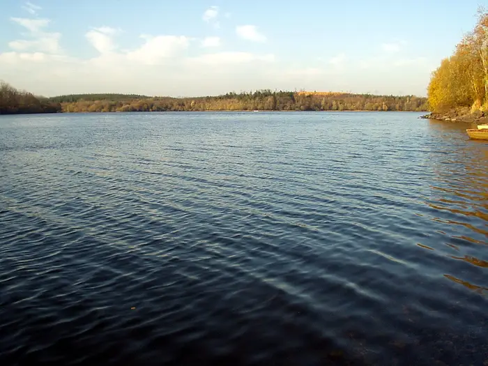
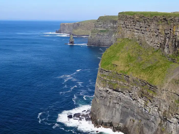
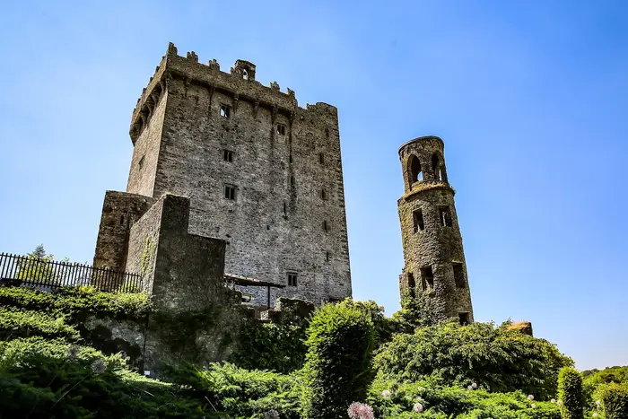
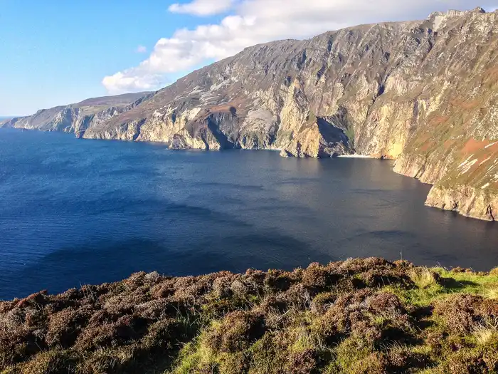
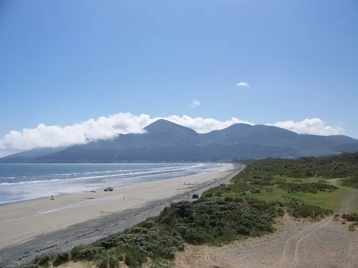
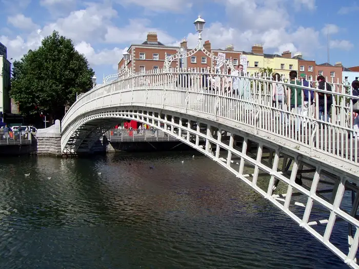
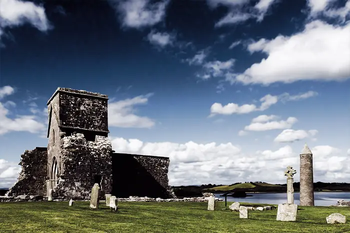
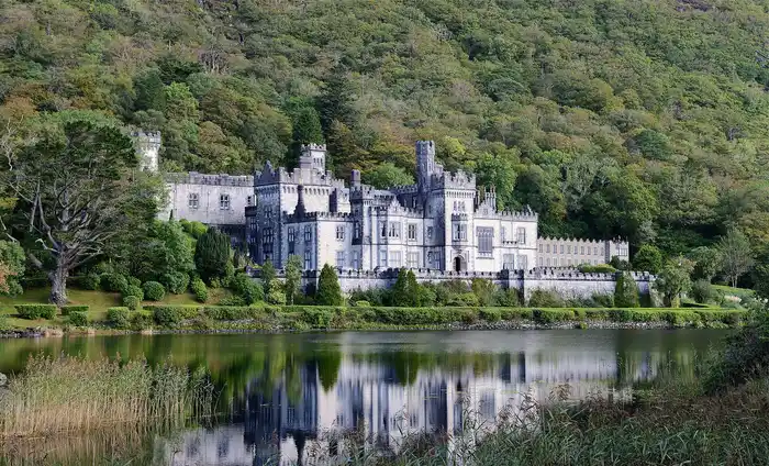
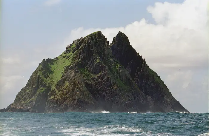
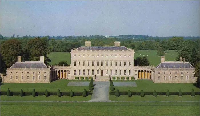
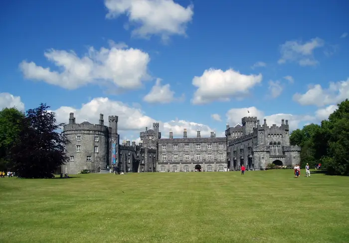
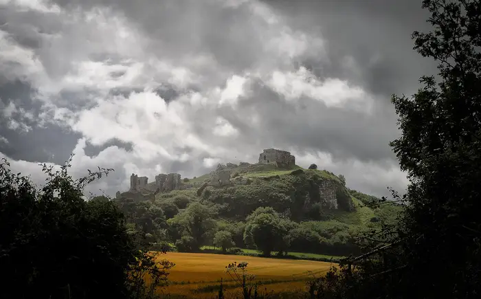
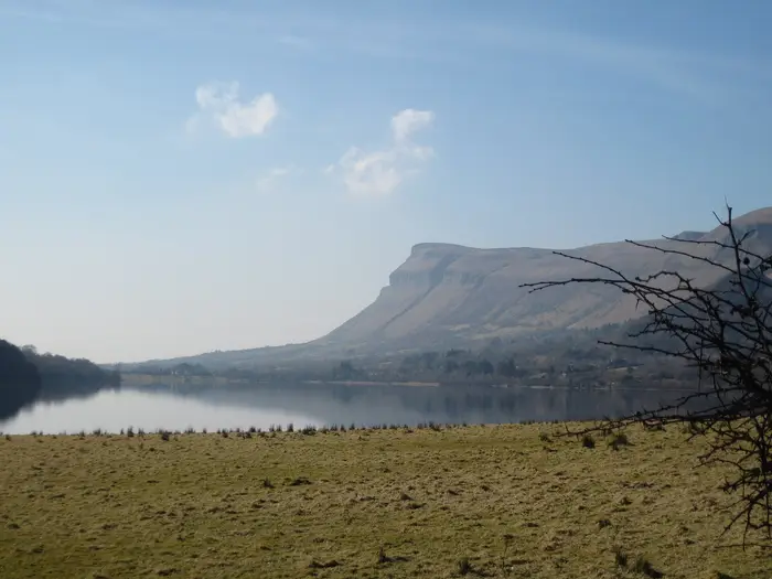
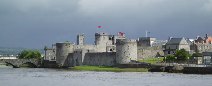
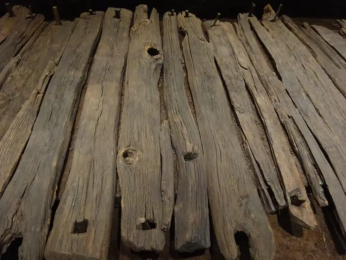
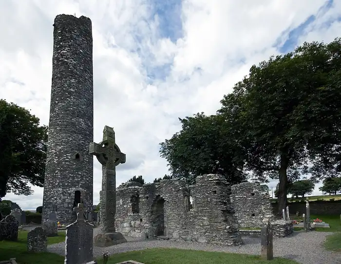
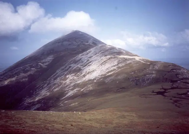
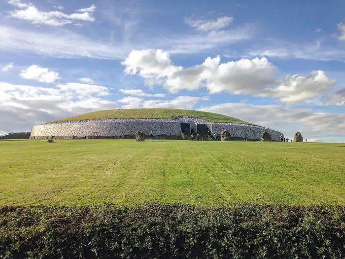
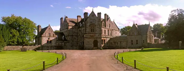
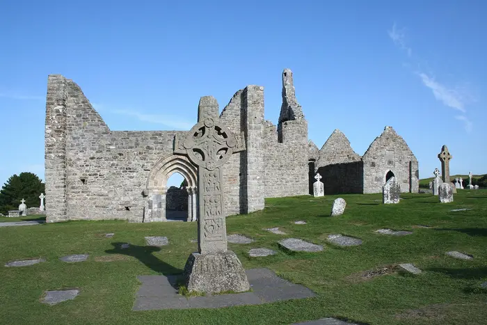
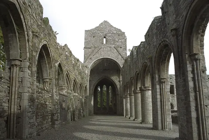
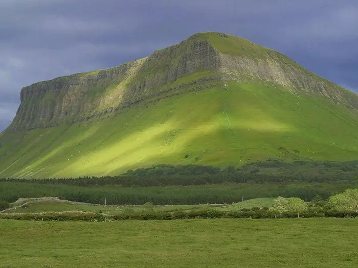
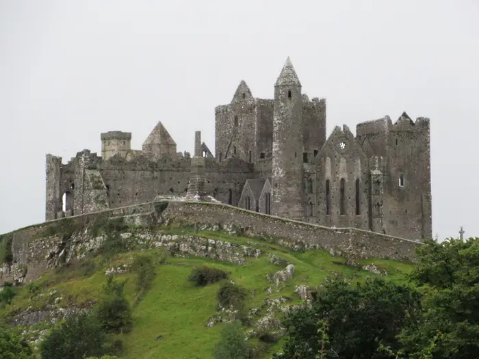
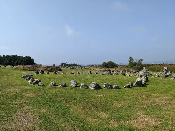
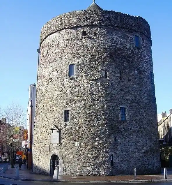
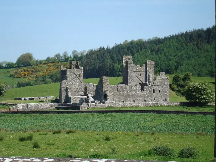
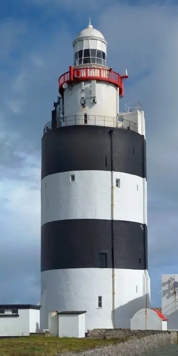
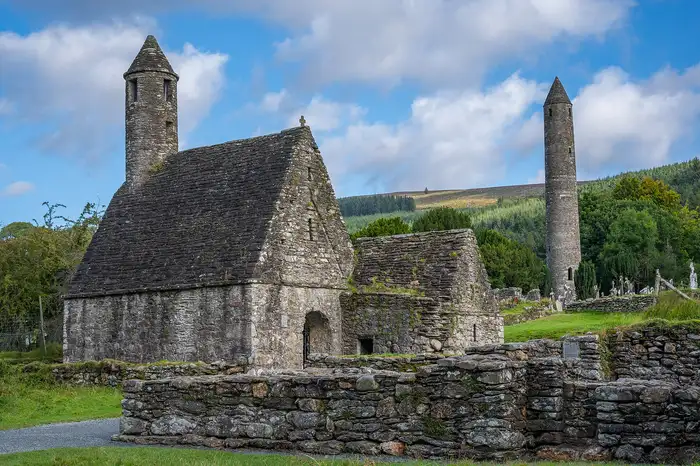
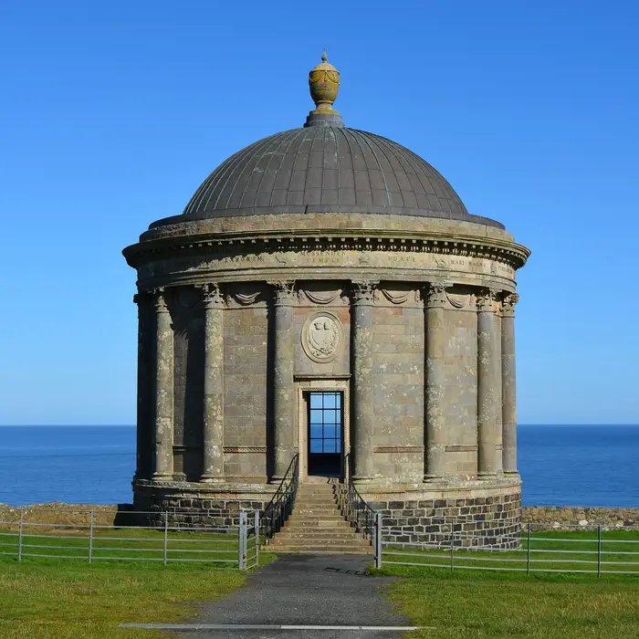
Giant's Causeway, County Antrim Antrim Giant's Causeway Navan Fort, County Armagh Armagh Navan Fort Brownshill dolmen, County Carlow Carlow Brownshill dolmen Lough Oughter, County Cavan Cavan Lough Oughter Cliffs of Moher, County Clare Clare Cliffs of Moher Blarney Castle, County Cork Cork Blarney Castle Slieve League, County Donegal Donegal Slieve League Mourne Mountains, County Down Down Mourne Mountains Ha'penny Bridge, County Dublin Dublin Ha'penny Bridge Devenish Island, County Fermanagh Fermanagh Devenish Island Kylemore Abbey, County Galway Galway Kylemore Abbey Skellig Michael, County Kerry Kerry Skellig Michael Castletown House, County Kildare Kildare Castletown House Kilkenny Castle, County Kilkenny Kilkenny Kilkenny Castle Dunamase, County Laois Laois Dunamase Glencar Lough, County Leitrim Leitrim Glencar Lough King John's Castle (Limerick), County Limerick Limerick King John's Castle (Limerick) Mussenden Temple, County Derry / Londonderry Derry / Londonderry Mussenden Temple Corlea Trackway, County Longford Longford Corlea Trackway Monasterboice, County Louth Louth Monasterboice Croagh Patrick, County Mayo Mayo Croagh Patrick Newgrange, County Meath Meath Newgrange Castle Leslie, County Monaghan Monaghan Castle Leslie Clonmacnoise, County Offaly Offaly Clonmacnoise Boyle Abbey, County Roscommon Roscommon Boyle Abbey Benbulbin, County Sligo Sligo Benbulbin Rock of Cashel, County Tipperary Tipperary Rock of Cashel Beaghmore, County Tyrone Tyrone Beaghmore Reginald's Tower, County Waterford Waterford Reginald's Tower Fore Abbey, County Westmeath Westmeath Fore Abbey Hook Lighthouse, County Wexford Wexford Hook Lighthouse Glendalough, County Wicklow Wicklow Glendalough
Photographs from Wikimedia Commons under free licences. Each photographer is named on the county page and in the full picture credits. County areas and county towns follow Wikipedia's list of Irish counties by area and Counties of Ireland. Populations: CSO — Census of Population 2022, NISRA — Census 2021, Wikipedia — List of Irish counties by population.

Wondering why yours is called what it is called? The Kingdom, the Rebel County, the Wee County, and the one nobody can explain. Why every county has the nickname it has →