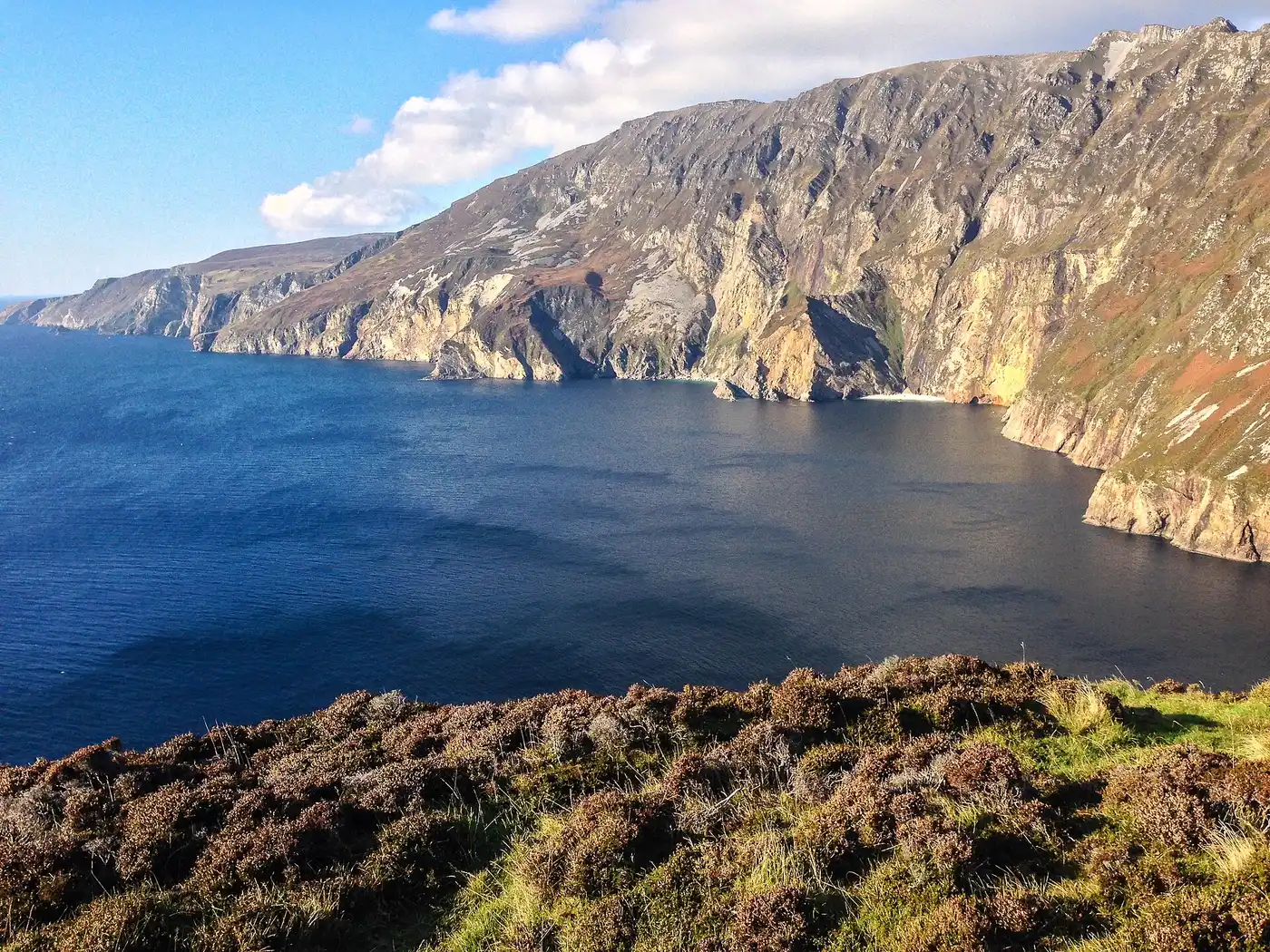
County Donegal
Known as The Forgotten County. A modern nickname and a complaint: Donegal is the county most often left off the map, cut off from the rest of the Republic by the border and a long way from anyone making decisions.
Tap a name for its full page — story, homeland map and neighbours.
- Beltany stone circle · stone circle
- Bocan Stone Circle · stone circle
- Carndonagh stones · high cross
- Cloghanmore · tomb
- Tory Island · round tower · incomplete · 12.8 m
- 11 castles · Ballyshannon Castle, Burt Castle, Carrickabraghy Castle, Doe Castle, Donegal Castle and more
Every pin is placed by its documented coordinates. All the monuments of Ireland →
What is the Irish name for County Donegal?
Dún na nGall. Donegal is one of the 9 counties of Ulster (Cúige Uladh).
Who ruled County Donegal in the Middle Ages?
Around 1014 it was held by Tír Chonaill (O'Donnell); by 1450, O'Donnell of Tír Chonaill. The full era-by-era chronology is on this page.
What surnames come from County Donegal?
Names historically associated with Donegal include Boyle, Breslin, Brogan, Cannon, Clarke, Curran, Doherty, Duffy, among others.
- 1911 Census — Donegal ↗
- 1901 Census — Donegal ↗
- Griffith's Valuation — search Donegal ↗
- Down Survey maps — Donegal ↗
- Schools' Folklore Collection — Donegal ↗
- Placenames of Donegal (Logainm) ↗
Free, from the holding institutions. How to begin: the six-step guide → · Spotted an error on this page? Suggest a correction.