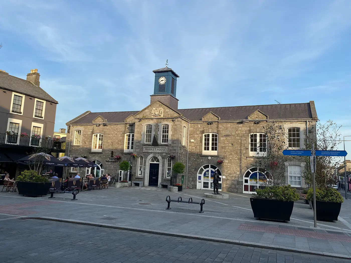
Mullingar
'the left-handed mill' or 'the wry mill'
A lakeland town of cattle fairs and canal trade, ringed by Lough Owel, Lough Ennell and Lough Derravaragh — where the Children of Lir spent the first three hundred years of their exile as swans.
Mullingar grew at a ford on the River Brosna. Its Irish name, An Muileann gCearr, the wry or left-handed mill, comes from one of its early mills; there was also a motte, a tower house and several fortified houses. The Bishop of Meath founded an Augustinian priory here in 1227, and the Nugents are said to have founded a Dominican friary in 1237; both were dissolved in the 16th century. When Westmeath was created in 1543, Mullingar became its shire town, and after Wellington Barracks was built in the early 19th century it was a garrison town too. The Cathedral of Christ the King dates from the 1930s.
Drawn from the History section of the Wikipedia article on Mullingar ↗, rewritten here and adding nothing it does not say; licensed CC BY-SA 4.0.
- Knockdrin · castle · 6 km
- Castlelost Castle · castle · 12 km
- Mortimer's Castle · castle · 14 km
- Rattin Castle · castle · 14 km
Straight-line distances from the town centre, from each site's documented coordinates.
- Hill of Uisneach · The mythic navel of Ireland, where the five provinces met at the Catstone and the great Bealtaine fire was lit — answered by fires on hills across the island.
- Hill of Uisneach · Where the goddess Ériu, who gave Ireland its name, met the invading Milesians and was promised the island would bear her name forever. It has.
- Lough Derravaragh — the Children of Lir · Here the jealous Aoife turned Lir's four children into swans for 900 years — 300 on this lake, 300 on the Sea of Moyle, 300 on the Atlantic.
All of these are pinned on the Hidden Ireland map.
All towns and cities → · Every town name in Irish · Know Mullingar better? Add to the story.