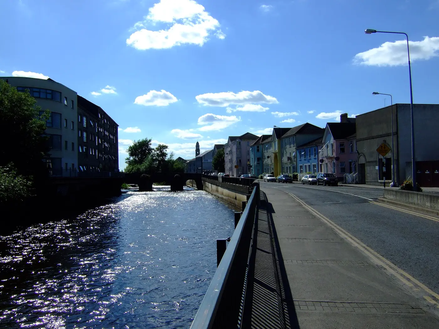
Clonmel
'meadow of honey'
The chief town of Tipperary, on the Suir under the Comeragh mountains. It held out against Cromwell in 1650 in the most costly siege he fought in Ireland. Charles Bianconi started his national network of horse cars here in 1815 — Ireland's first public transport system.
Clonmel was a walled town in the Middle Ages, strategically important first to the Earls of Ormond and then to the Earls of Kildare; a stretch of the wall survives by Old St Mary's Church, and the West Gate on O'Connell Street is a 19th-century rebuilding of one of its three gates. In 1585 Fr Muiris Mac Ionrachtaigh, chaplain to the rebel Earl of Desmond, was imprisoned here; when soldiers raided the Easter Mass he said in the house of a townsman, Victor White, he escaped, then gave himself up to save White, and was executed in the market place on 30 April 1585. He was beatified in 1992. James I made Clonmel a free borough in 1608.
Drawn from the History section of the Wikipedia article on Clonmel ↗, rewritten here and adding nothing it does not say; licensed CC BY-SA 4.0.
- St. Patrick's Well, Clonmel · holy well · 3 km
- Castle Gurteen de la Poer · castle · 7 km
- Moorstown Castle · castle · 9 km
- Ardfinnan Castle · castle · 13 km
- Kilcash Castle · castle · 13 km
Straight-line distances from the town centre, from each site's documented coordinates.
- Fethard town walls · Ireland's most complete medieval town walls — and set into them, a sheela-na-gig facing the road, a fertility figure guarding a Norman town.
- The Comeraghs — Crotty’s rock · William Crotty the highwayman kept to these mountains, and a lake and a crag still carry his name. He was hanged in Waterford in 1742.
All of these are pinned on the Hidden Ireland map.
All towns and cities → · Every town name in Irish · Know Clonmel better? Add to the story.