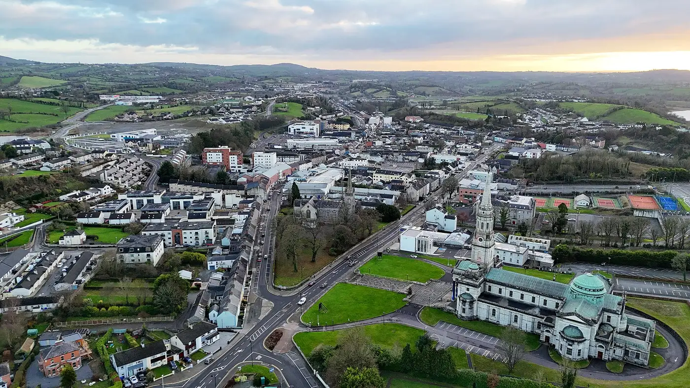
Cavan
'the hollow'
The county town of the O'Reilly lordship of East Bréifne, in a country of small lakes and drumlins where the Erne rises. In 1690 Williamite troops burned much of the town in the Battle of Cavan.
Cavan was founded by Giolla Íosa Ruadh O'Reilly, Lord of East Bréifne, between 1300 and his death in 1330. A Dominican friary stood by the O'Reilly stronghold at Tullymongan, replaced by Franciscans in 1393, and its site is marked by the tower in the Abbey Street graveyard; the medieval town's outline survives in Abbey Street, Bridge Street and Main Street. In the 15th century Bearded Owen O'Reilly enlarged the market and drew merchants from Dublin and Drogheda, and "the life of Reilly" is believed to recall the chiefs' wealth. They also let counterfeit English and Scottish coins be minted in their country.
James I granted Cavan a charter in 1611. In February 1690 Williamite forces from Enniskillen attacked the Jacobite fort at Tullymongan and burned much of the town. In the 18th century power passed to the Maxwells, Barons Farnham, whose Farnham House was designed by James Wyatt around 1780; Farnham Street, with the courthouse of 1824, was laid out in the early 19th century.
Drawn from the History section of the Wikipedia article on Cavan ↗, rewritten here and adding nothing it does not say; licensed CC BY-SA 4.0.
- Finn McCools Fingers · tomb · 6 km
- Drumlane · round tower · 11 km
- Castle Saunderson · castle · 15 km
Straight-line distances from the town centre, from each site's documented coordinates.
- Clones · Tigernach’s 6th-century monastery. A round tower, a stone sarcophagus said to be the saint’s, and a five-metre high cross whose shaft was carved between 825 and 875 — the head added later, by other hands.
All of these are pinned on the Hidden Ireland map.
All towns and cities → · Every town name in Irish · Know Cavan better? Add to the story.